- The Guide to Port Entry and The Ships Atlas now available on Archive.org.
- Provides invaluable information on thousands of maritime ports and terminals around the world.

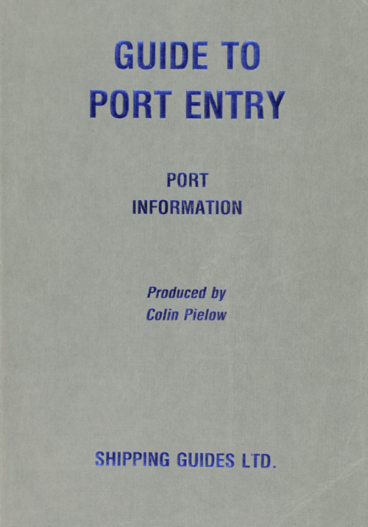
Guide to Port Entry, 1985-86 Port Information Book
The Lloyd’s Register Foundation Heritage & Education Centre (HEC) is pleased to announce the digitisation of Guide to Port Entry and The Ships Atlas in collaboration with Lloyd’s Register (LR) OneOcean.
From February 2024, the historic collection will be freely available across Archive.org, Google Books and the HEC website for researchers, academics and maritime enthusiasts to explore.
What is the Guide to Port Entry?
First published in 1971, these Guides provide invaluable information on thousands of commercial ports and terminals across the globe. They are compiled and published annually by LR OneOcean, whose years of global maritime experience allows them to provide expert and innovative solutions that enhance efficiency, sustainability, and overall industry success. The Guides cover a significant geographical breadth, and the most recent edition includes information on over 12,500 ports, harbours and terminals worldwide. These are fully indexed and contain detailed port plans and mooring diagrams.
Why are these Guides important to the maritime industry?
No two ports are the same, it is integral that mariners are aware of each port’s regulations, restrictions, and procedures before visiting and since traffic flows, developments and layouts are continually evolving, accurate information is key for effective planning. These Guides therefore provided the latest information at their time of publishing. Since 2012, each port is equipped with a QR code linking to its continually updated page on findaport.com - ensuring real-time access to the latest data.
It is worth noting that the guides on the HEC website are ‘historic’ guides, with the most recent guide being published in 1999-2000. More recent editions will be added cyclically.
Martin Taylor, Chief Executive Officer, LR OneOcean remarks ‘In the ever-evolving maritime seascape, commercial ports and terminals play a pivotal role. Understanding the intricacies of each port, from policies and procedures to available facilities and restrictions, is crucial for planning successful visits, minimising unnecessary manoeuvring, and ensuring trouble-free cargo transfer. Efficient planning begins with access to the right information, and that’s precisely what our Guide to Port Entry provides.’
What is The Ships Atlas and what do they contain?
The Ships Atlas was first produced in 1984 and has since become a valuable tool for the shipping industry. The books provide the exact location of ports, as well as a system of map symbols which indicate basic information like cargoes handled, dry dock availability and size.
The comprehensive port index lists data such as the maximum size of vessel handled, access to fuel and medical facilities, and the nearest airport.
The books also contain a selection of regional and global maps, including:
- World Political
- Time Zones
- MARPOL 73/78
- Sensitivity Sea Areas
- Maritime Piracy Incidents
- Global Distributions of Major Diseases
Explore the entire catalogue and indexes here.
Guide to Port Entry is just one facet of the comprehensive port data available through LR OneOcean today. Find out more about other solutions here.
To stay updated about future uploads, sign up to our mailing list or follow us on social media.

